


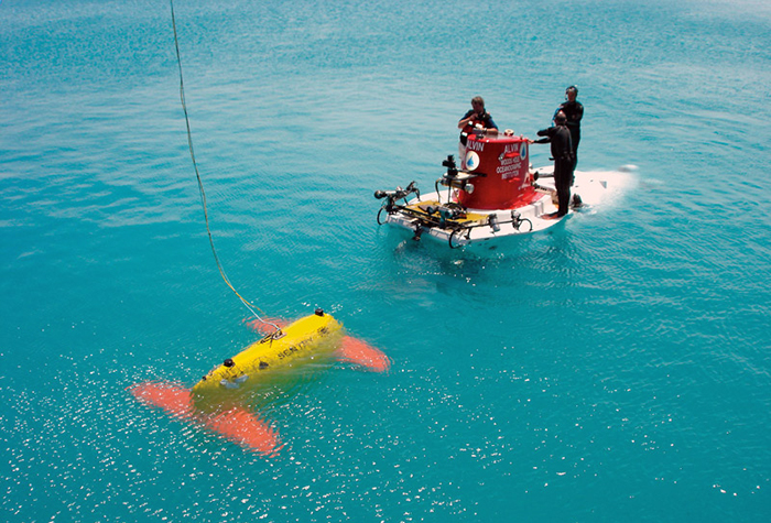
During a testing expedition off Bermuda in April 2006, the autonomous underwater vehicle Sentry met the human-occupied submersible Alvin (Photo by Chris German, Woods Hole Oceanographic Institution)
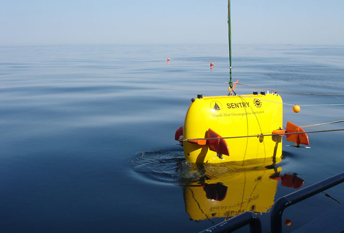
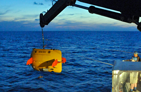
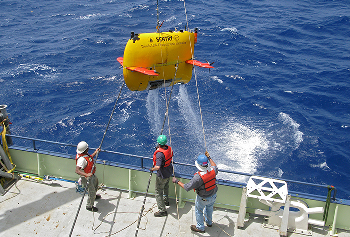
Sentry is lowered into the North Atlantic during deep-sea engineering trials in April 2008 from the research vessel Oceanus. (Photo by Chris German, Woods Hole Oceanographic Institution)
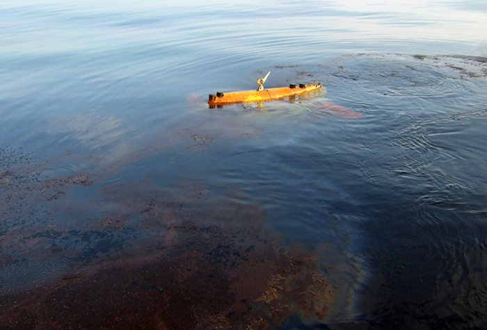
The crew aboard the R/V Atlantis launch Sentry during a September 2009 cruise to study natural oil and methane seeps at a site about one mile off the coast of Santa Barbara, California. (Photo by Christopher Reddy, Woods Hole Oceanographic Institution)
In June 2010, WHOI personnel investigated the fate of oil from the Deepwater Horizon oil spill in the gulf of Mexico using Sentry, equipped with the TETHYS underwater mass spectrometer to map a mid-water hydrocarbon plume as far as 20 miles from the broken well. (Photo by Dana Yoerger, Woods Hole Oceanographic Institution)
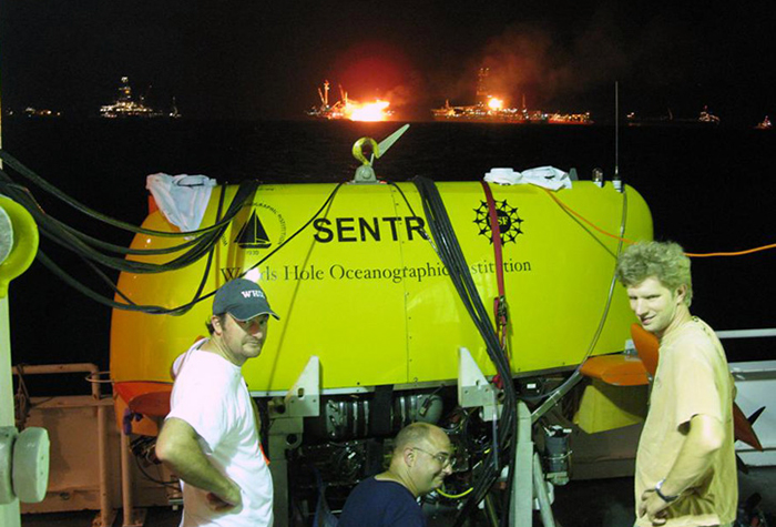
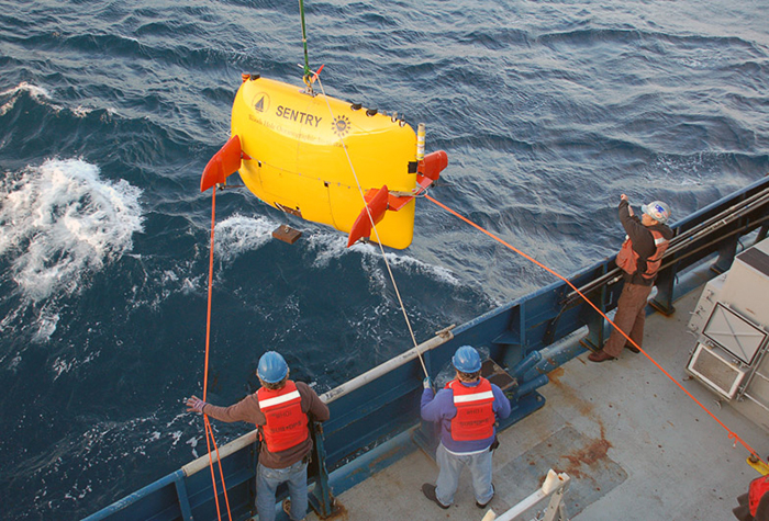
Sentry being prepared for a mission to map the underwater oil plume near the Deepwater Horizon well head. (Photo by Rich Camilli, Woods Hole Oceanographic Institution )
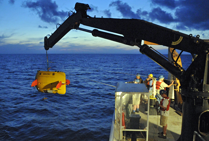
In May 2011, engineers readied Sentry to dive in search of deep-water corals in the Gulf of Mexico, where they were examining the health of the corals and other sea life a year after the April 2010 Deepwater Horizon oil spill, the largest spill in U.S. history. (Photo by Dana Yoerger, Woods Hole Oceanographic Institution)
During a June 2013 trip from Barbados to Woods Hole, scientists and engineers on board R/V Knorr collected high-resolution images of the seafloor near the Mid-Atlantic Ridge using Sentry and TowCam in an effort to better understand how the seafloor has formed and changed over the past 5 million years. (Photo by Henry Dick, Woods Hole Oceanographic Institution)
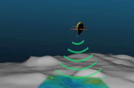
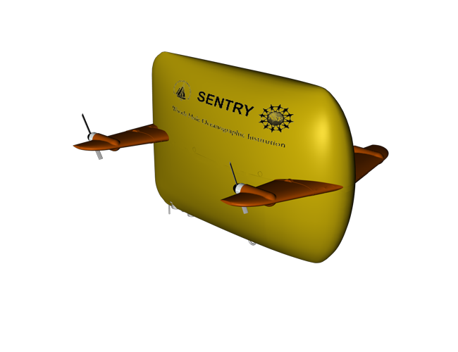
Sentry produces high-resolution maps of the seafloor and takes digital photographs of the bottom to create a detailed picture of features like mid-ocean ridges, deep-sea vents, and cold seeps. (Animation by Jack Cook, Woods Hole Oceanographic Institution))
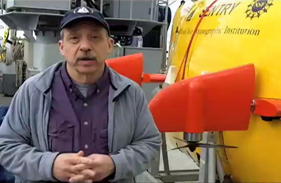
WHOI Senior Scientist Dana Yoerger explains how Sentry works. (Video by Ken Kostel, Woods Hole Oceanographic Institution)
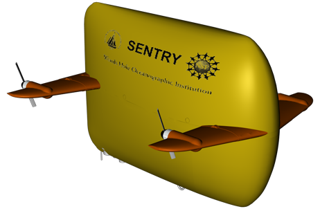
Sentry is a fully autonomous underwater vehicle capable of carrying sophisticated sensors and exploring the ocean down to 6,000 meters (19,685 feet) depth to produce bathymetric, sidescan, subbottom, and magnetic maps of the seafloor. It is also designed to navigate through a variety of deep-sea terrain, such as mid-ocean ridges, hydrothermal vent fields, and cold seeps and of taking thousands of digital images that scientists use to produce high-resolution mosaics of seafloor features. Sentry is increasingly used as an advance scout to locate features that scientists would like to study in greater detail with Alvin.
| Height | 1.8m (5.9 ft.) |
| Length | 2.9m (9.5 ft.) |
| Width | 2.2m (7.2 ft.) |
| Weight | 1,250kg (2,756 lbs.) |
| Depth | 6,000m (19,700 ft./3.7 miles) |
| Endurance | 20-40 hours |